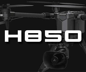
Hey mwfoshee! I am looking for a way to stitch images together for use in AutoCAD. Have you found a solution for aerial mapping that isn't too expensive? I saw your post on here about the maps made easy. I didn't know if this is the newest, latest, greatest resource or not. I am also trying to figure out how to take the still's from my H and insert them into Google Earth correctly. Thank you in advance!


