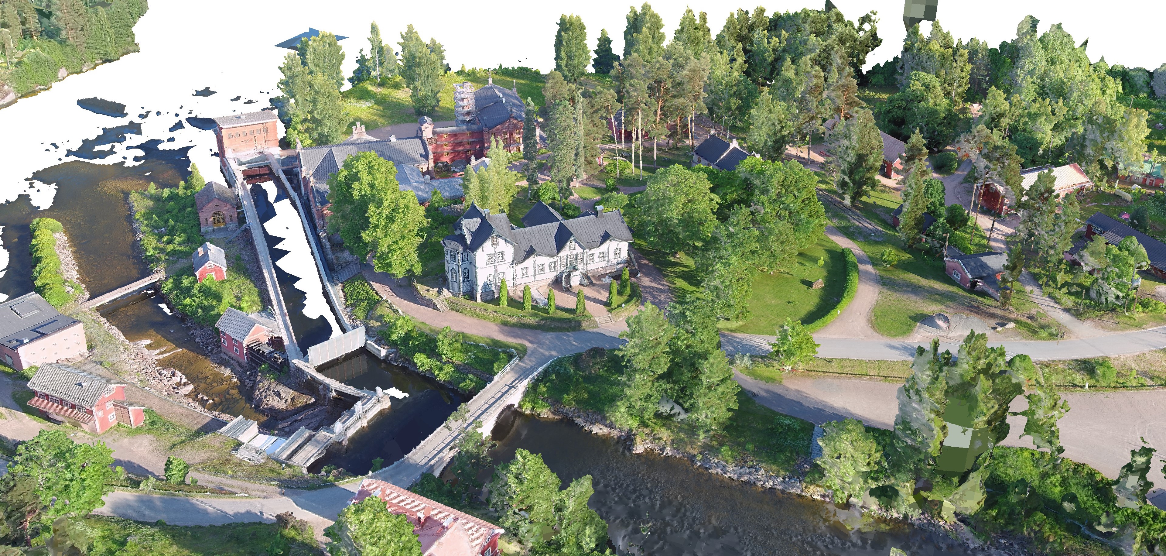
You could do simple photogrammetry, and come up with perfectly good landscape maps, with elevational changes, without Lidar. Just fly a pattern with plenty of overlap between the images, and then an orbit or two with good oblique images. Pix4D and CapturingReality are both fairly expensive, but OpenDrone Map and AutoDesk Recap Pro are not. If you capture images with a GPS enabled camera, AutoDesk RecapPro is smart enough to use that to correctly position and scale the models it creates. If you use carefully positioned and measured GCP's you could accurately scale it even more. There's a ton of instructional videos on YouTube that illustrate how to do this. The attached images are of a 3D point cloud model created in AutoDesk RecapPro. I didn't fly the mission, but I used somebody else's images to create the model. The two views are the same model, just rotated to show the elevational changes. The model would have been better with some oblique images. There are some vehicles in the image, which captured great top down, but without the obliques the sides of the vehicles have occlusions in them. Adding a couple of orbits for the obliques at different heights would have made the model much, much better. You can import the model directly into the Unreal Engine, or Blender....or you can import it into CloudCompare, and subsample it, creating a Point Cloud.
Alternatively, you could probably cobble together a system with a Jetson with a Real Sense 415 camera that the H could lift efficiently and get some fairly good results, for much cheaper than you could get a Lidar.