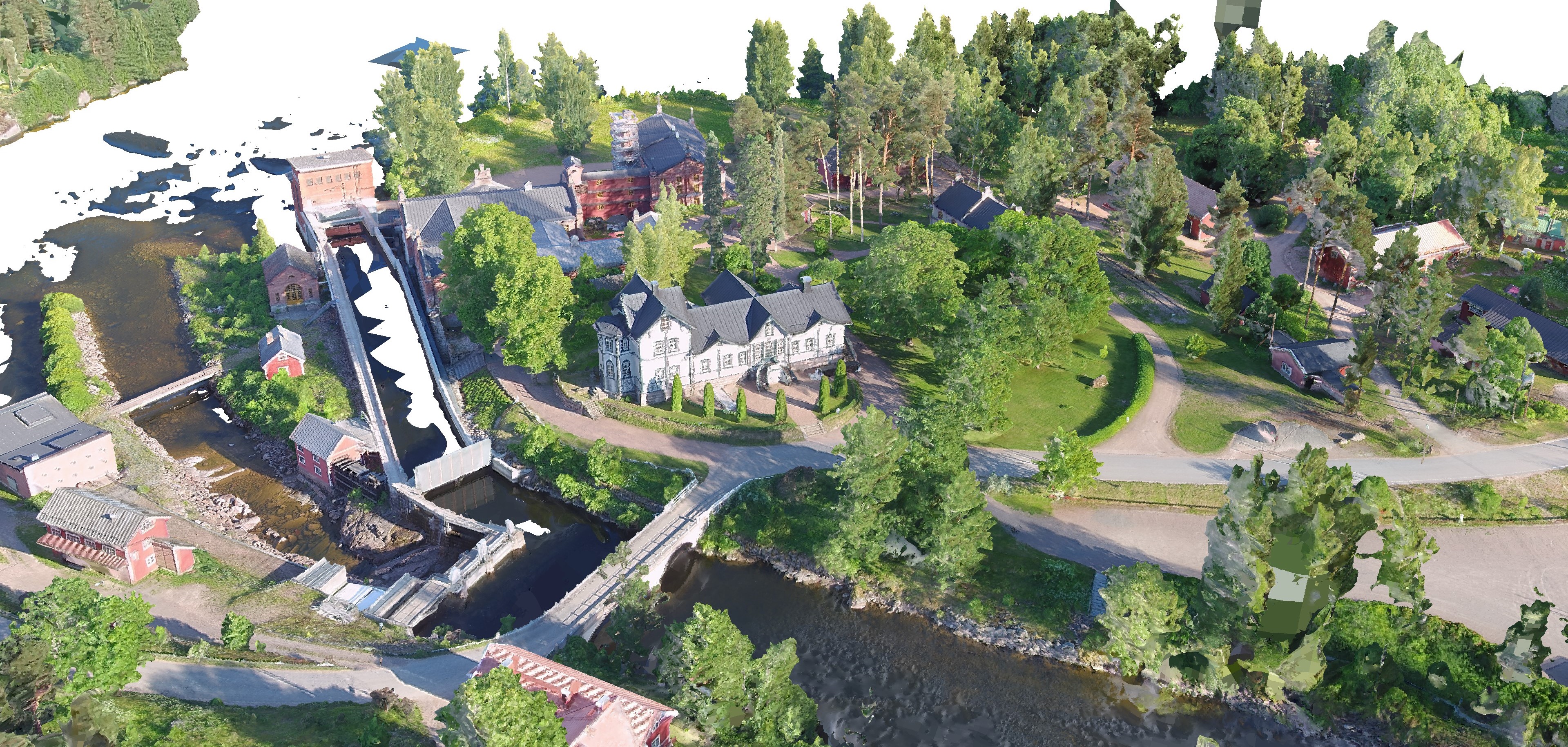
Hi, do you know if I can mount a lidar camera in Yuneec drones to scan landscapes and create them in 3D using something like Unreal Engine?
Which combination drone + camera do you suggest? I want to do it as a hobby, so I can't spend a lot on it...but I want to have good results.
Thanks
Which combination drone + camera do you suggest? I want to do it as a hobby, so I can't spend a lot on it...but I want to have good results.
Thanks


")