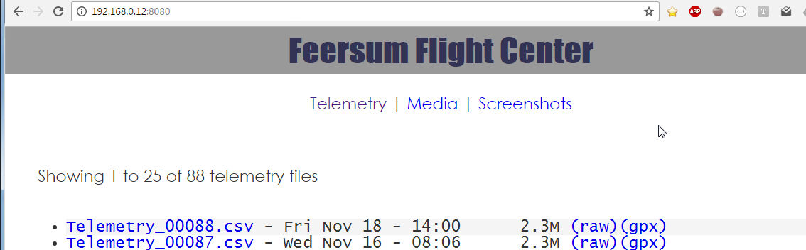
I've installed & been using the flight center app made by Feersum but Im now coming to you all to see if you can answer a few questions, with the App is it ONLY possible to use it while your on & using the st16 or is it somehow possible to put all the telemetry & recordings onto a pc & then use it as an app on a pc? Plus I see that on their website it says that the app will convert telemetry files into Google Maps GPS files .gpx but I cannot get that to work for the life of me can someone please explain how to get the app to convert the file so I can use them with Google maps cuz if you go to their site & try pressing on where the wording is blue saying it can convert the files to gpx format it takes you to an unusable page so how to do this ? Plus when it says at the bottom of the app to please connect to the internet or on a pc go to such & such address why can't I go there while on my st16? Thanks for the help tom c